Emesent GX1, an All-in-One SLAM LiDAR, RTK and 360° Imagery Scanner

good-design-award_best-in-class_rgb_blk_logo
  • 2026

  • Product
    Commercial and Industrial

Designed By:

Commissioned By:

Emesent

Designed In:

Australia

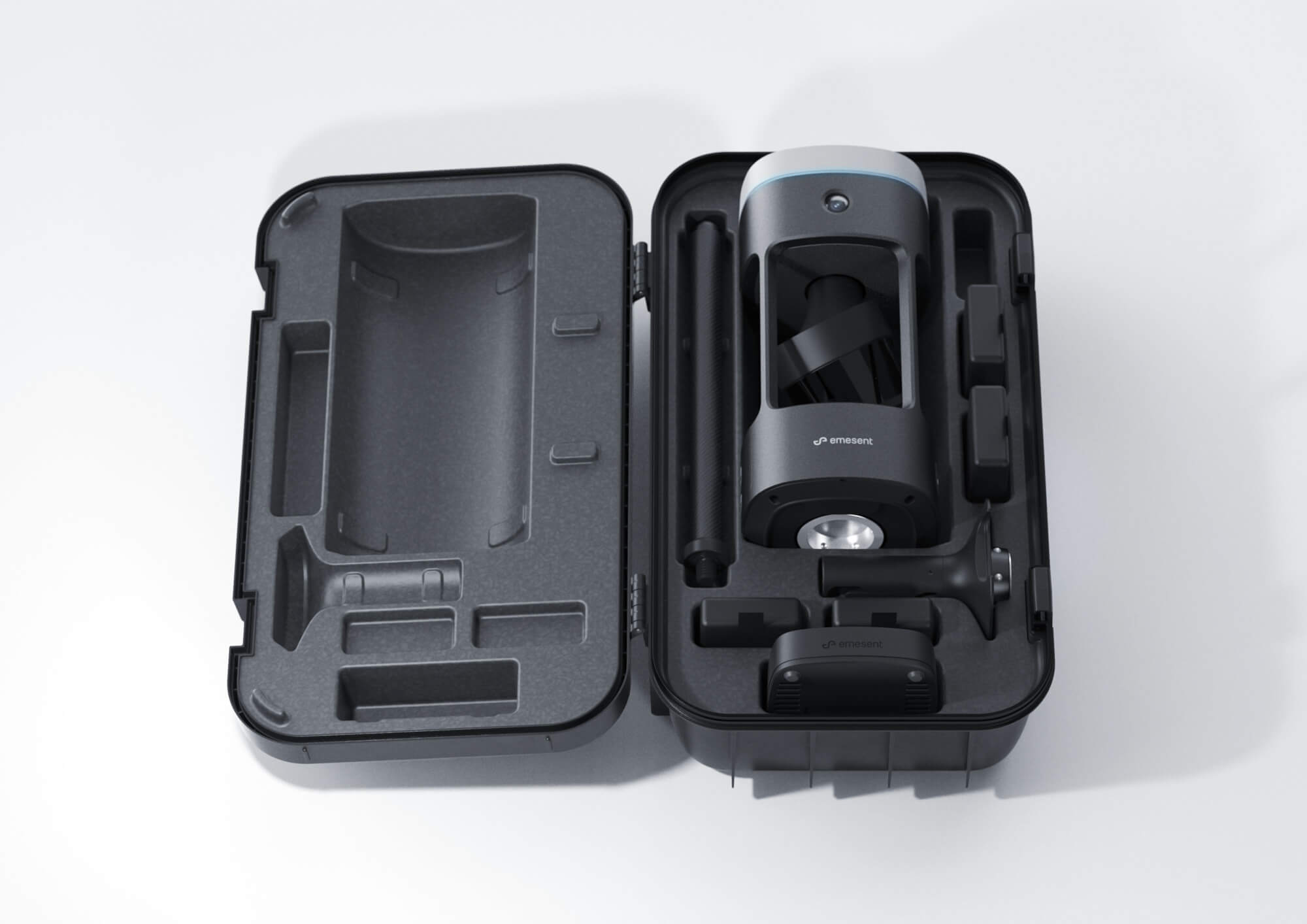
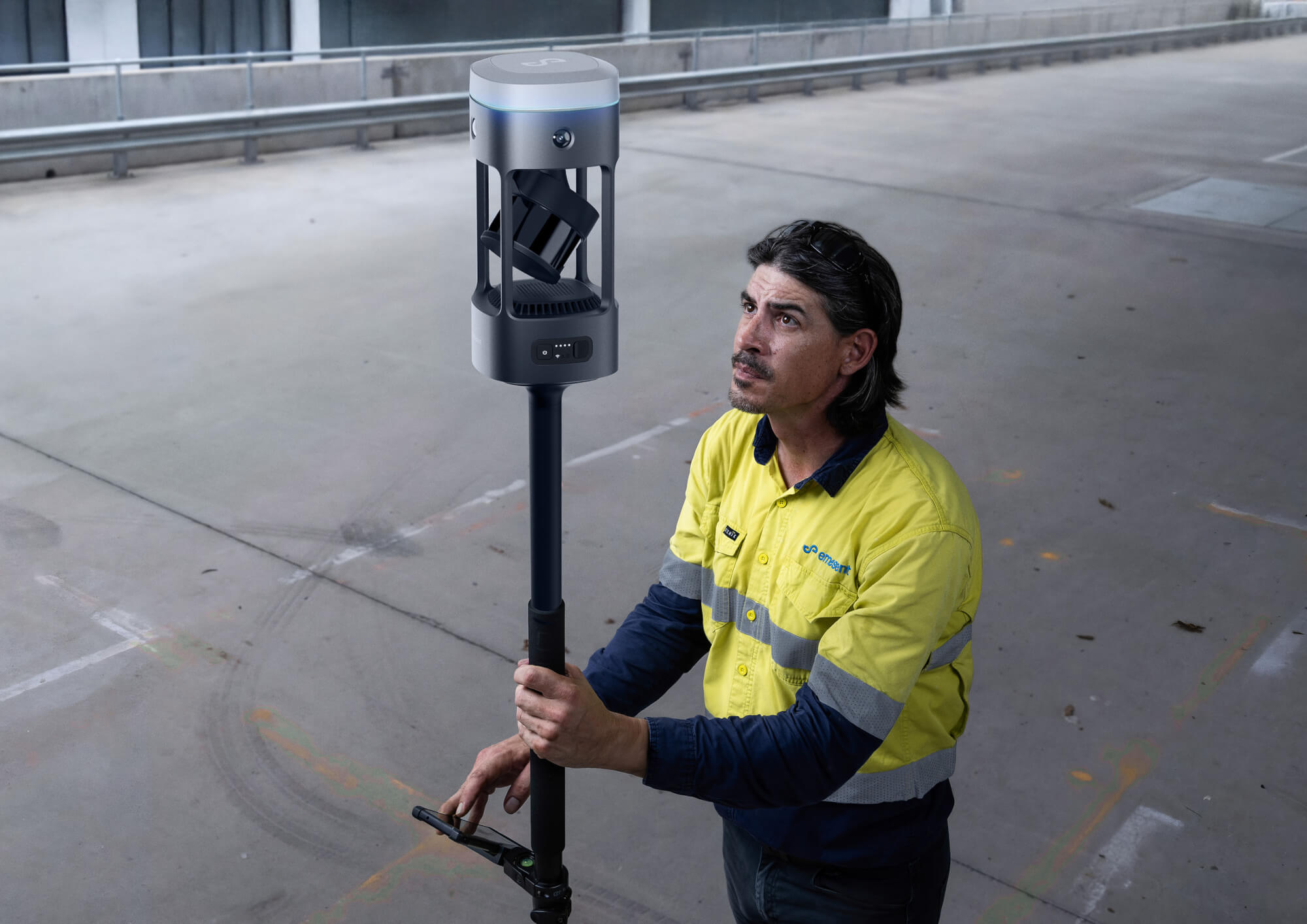
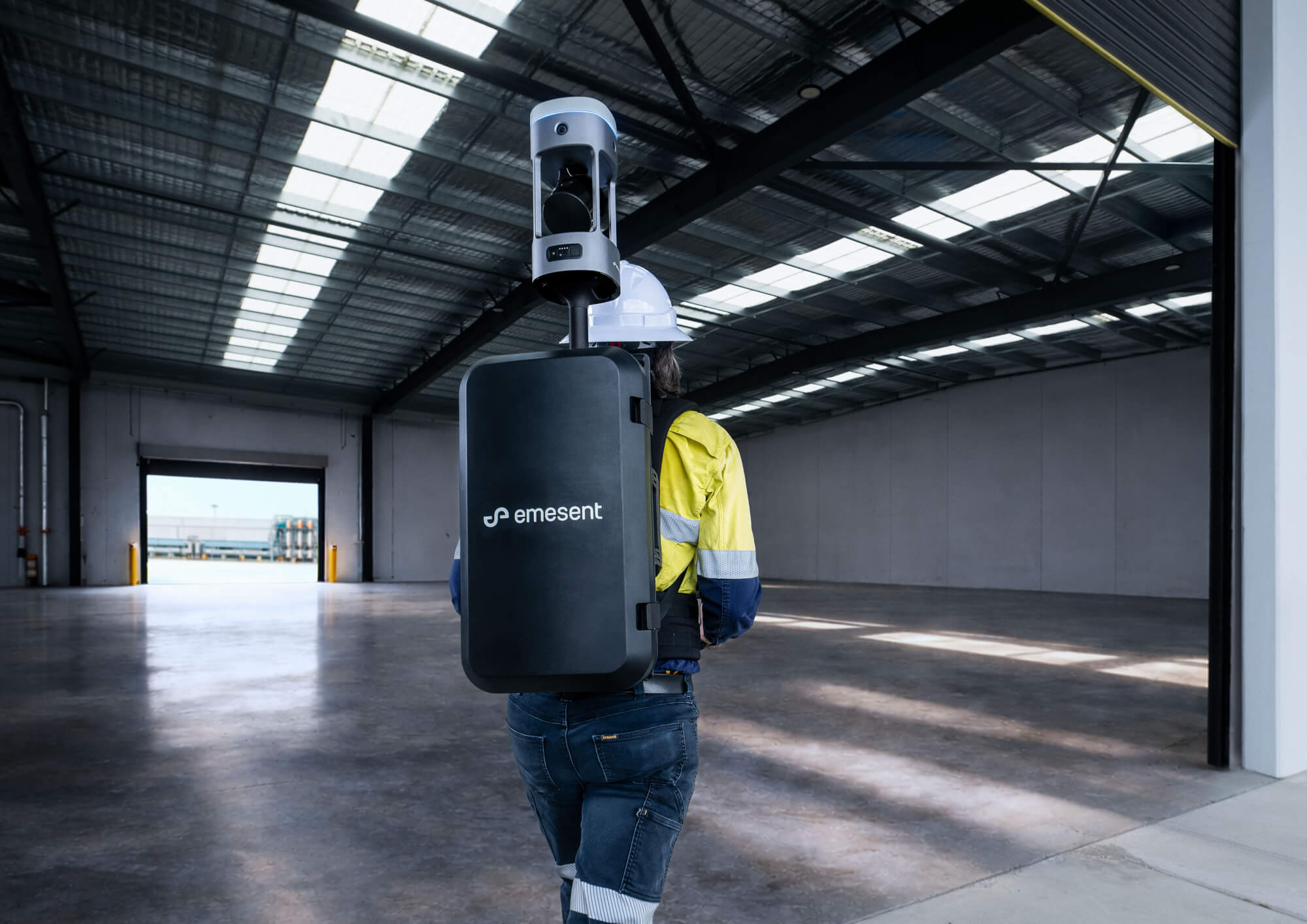
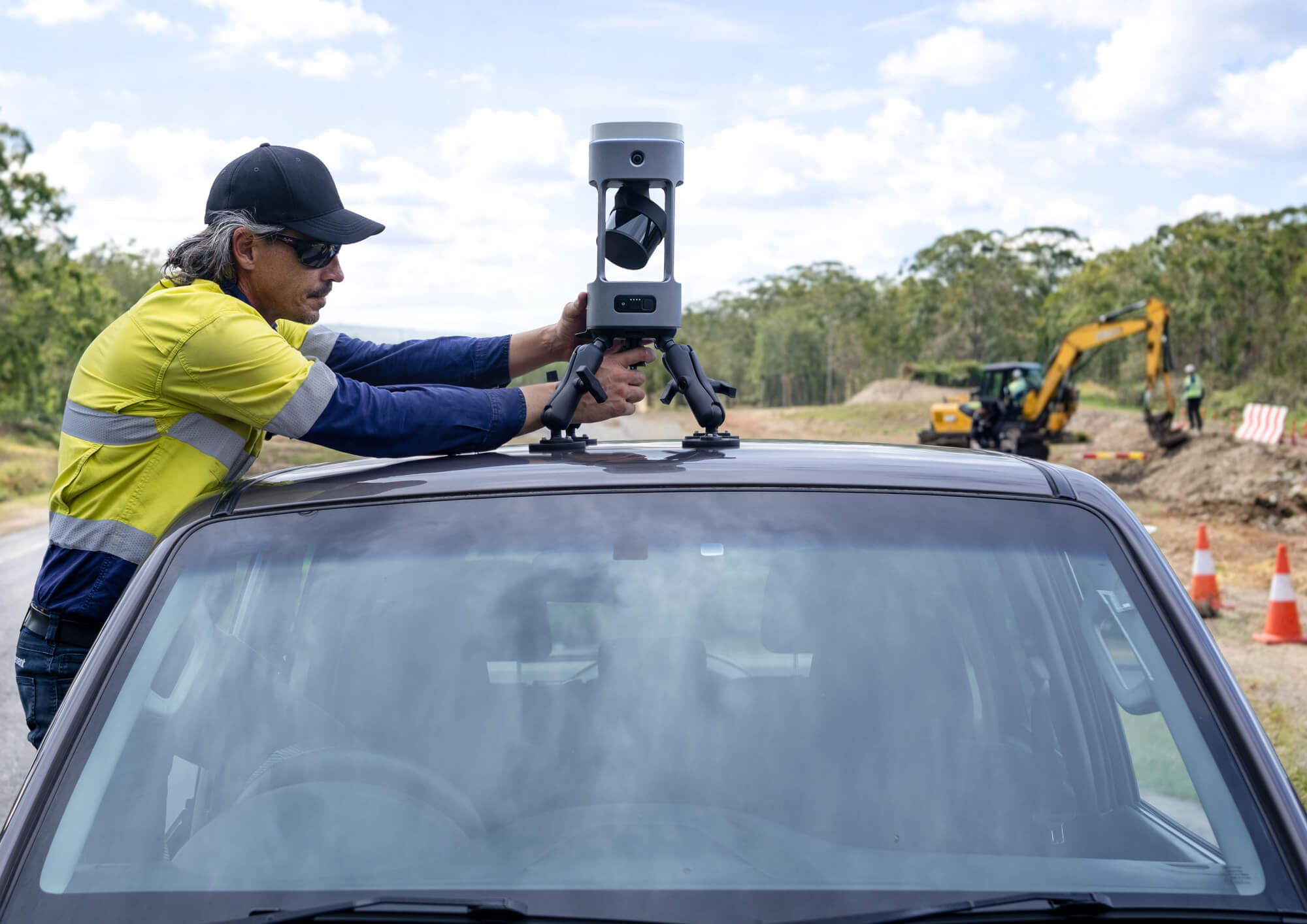
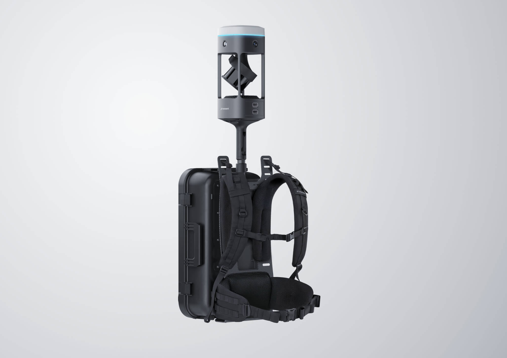
Emesent GX1 is a mobile scanner for topographic surveying and AEC construction that combines independently validated 5–10 mm global accuracy with rapid data capture. It integrates LiDAR, SLAM, RTK, cameras and software in a single system, with four deployment modes to suit different site conditions.
view website
Buy online

2.jpg
3.jpg
4.jpg
5.jpg
6.jpg
7.jpg
8.jpg
  • CHALLENGE
  • SOLUTION
  • IMPACT
  • MORE
  • Survey firms have long faced a trade-off between speed and confidence. Mobile scanners accelerated field capture but often could not provide the level of accuracy required for survey deliverables. Traditional methods produced dependable results, but demanded more time, labour and repeat site visits. At the same time, firms are dealing with staff shortages, lower retention, and growing client pressure to deliver faster, lower-cost outcomes. Emesent GX1 was developed to eliminate this dilemma, delivering mobile scanning speed with independently validated survey-grade accuracy in a single integrated system whilst simplifying operation for both junior and experienced users.

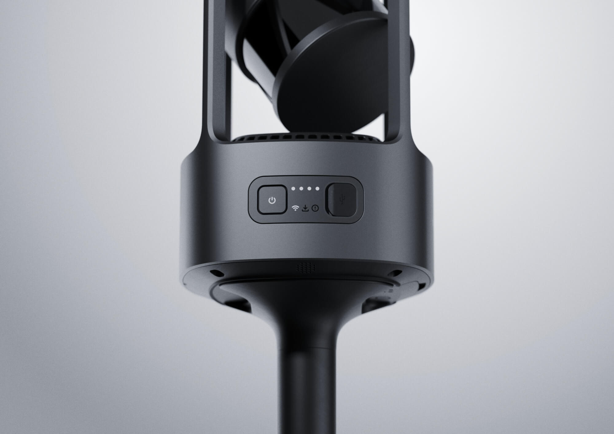
  • Emesent GX1 was developed through iterative industrial design, engineering and field testing, informed by ongoing feedback from surveyors. Early concept work explored multiple configurations before a vertical architecture was selected for its balance, LiDAR protection and RTK performance. Test rigs were used to assess ergonomics, electronics integration, camera placement and technical feasibility. The final product combines LiDAR, SLAM, RTK, cameras and software within a single field-ready device, supported by a precision-machined aluminium body, integrated quick-release mechanism, swappable batteries and clear visual status feedback. Four deployment modes allow GX1 to adapt to varied environments and workflows.

  • Emesent GX1 can reduce field survey time by up to 95%, allowing work that previously took weeks to be completed in a single day. This helps survey and Architecture, Engineering and Construction (AEC) firms improve turnaround times, increase project capacity and respond to rising demand without expanding field effort at the same rate. GX1’s durable, serviceable design supports long-term use, while faster and more repeatable scanning enables more frequent digital twin capture, earlier issue detection, and better-informed management of built assets.

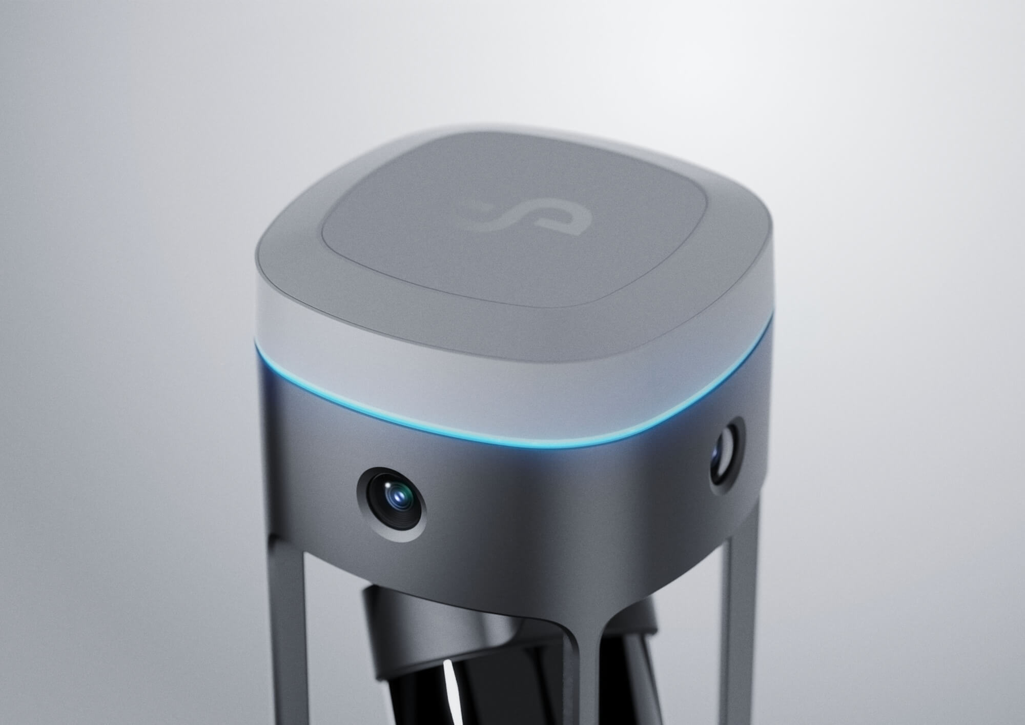
  • Emesent GX1’s form and materials are shaped by sensor performance, ruggedness, and practical field use. At its core is a novel single-piece aluminium frame that combines high stiffness with low weight and excellent thermal properties for heat dissipation, providing a stable foundation for every subsystem. Aluminium also works to dissipate heat. This rigidity maintains sensor alignment through vibration, impact, and environmental exposure, helping deliver reliable, high-accuracy SLAM results in demanding conditions. The one-piece frame architecture defines two distinct volumes, an upper sensor module and a lower compute and power module, optimized for both performance and thermal control. The upper module co-locates the full sensing suite as a single integrated system while preserving a true 360° field of view for both LiDAR and cameras. The lower module houses high-power electronics and is physically isolated from the sensor volume, with heat managed via an active cooling system to support stable operation across a wide temperature range. GX1 pairs the aluminium core with a radio-transparent, engineering-grade polymer radome and sealed construction to achieve IP65 protection, supporting reliable operation in dust and moisture-prone environments.