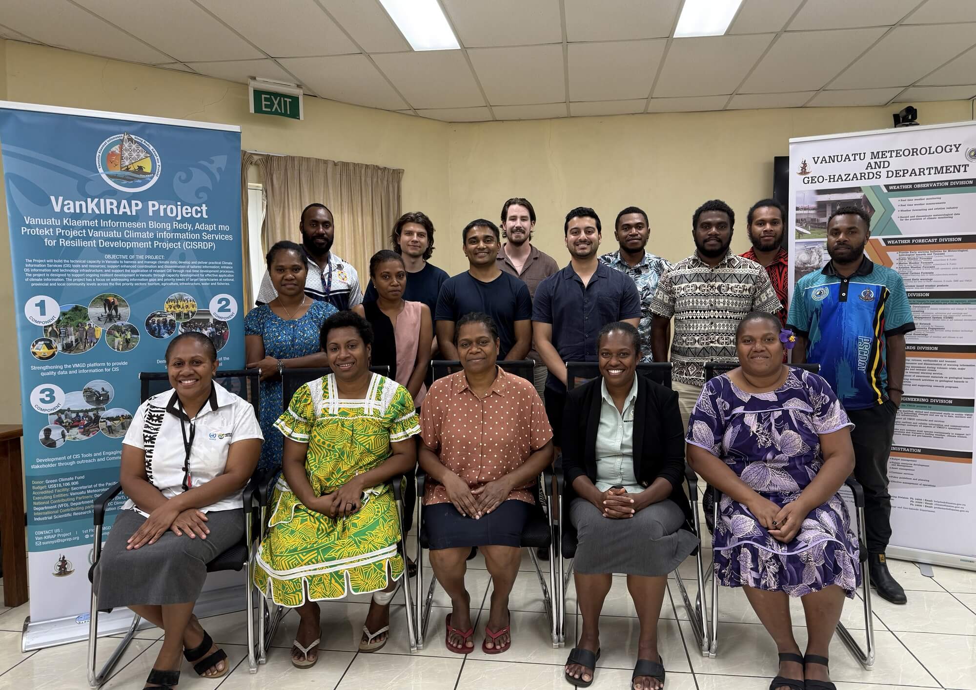
Vanuatu National Warning System: A Sovereign Digital Lifeline

good-design-award_best-in-class_rgb_blk_logo

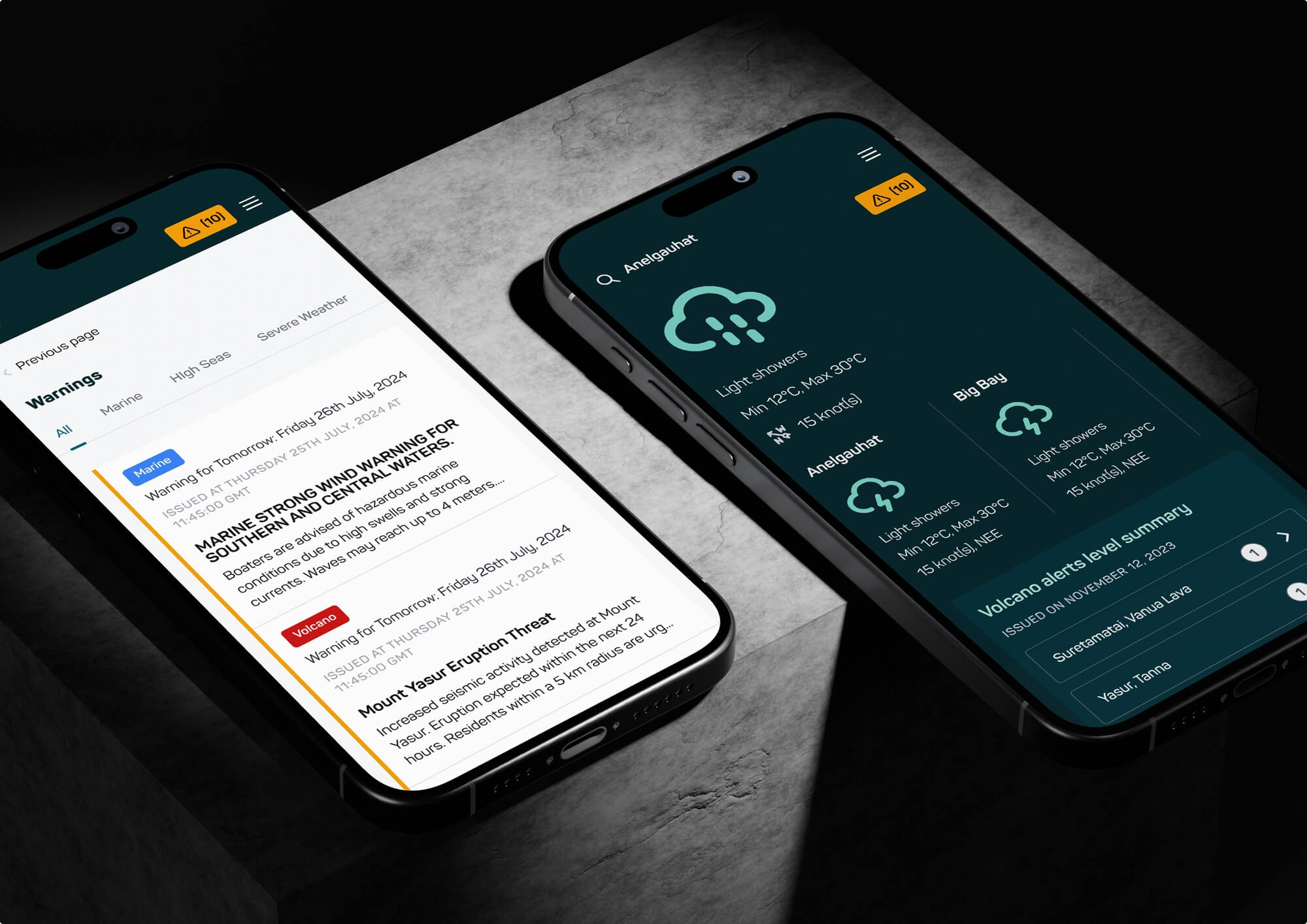
The Vanuatu National Warning System is a high-performance digital platform protecting 314,000 citizens. It integrates real-time meteorological data, including C-band radar and volcano drumplots, into a resilient mobile interface. Designed for the world’s most disaster-prone nation, it provides a sovereign digital lifeline.
view website

2.jpg
3.jpg
4.jpg
5.jpg
6.jpg
7.jpg
8.jpg
9.jpg
  • CHALLENGE
  • SOLUTION
  • IMPACT
  • MORE
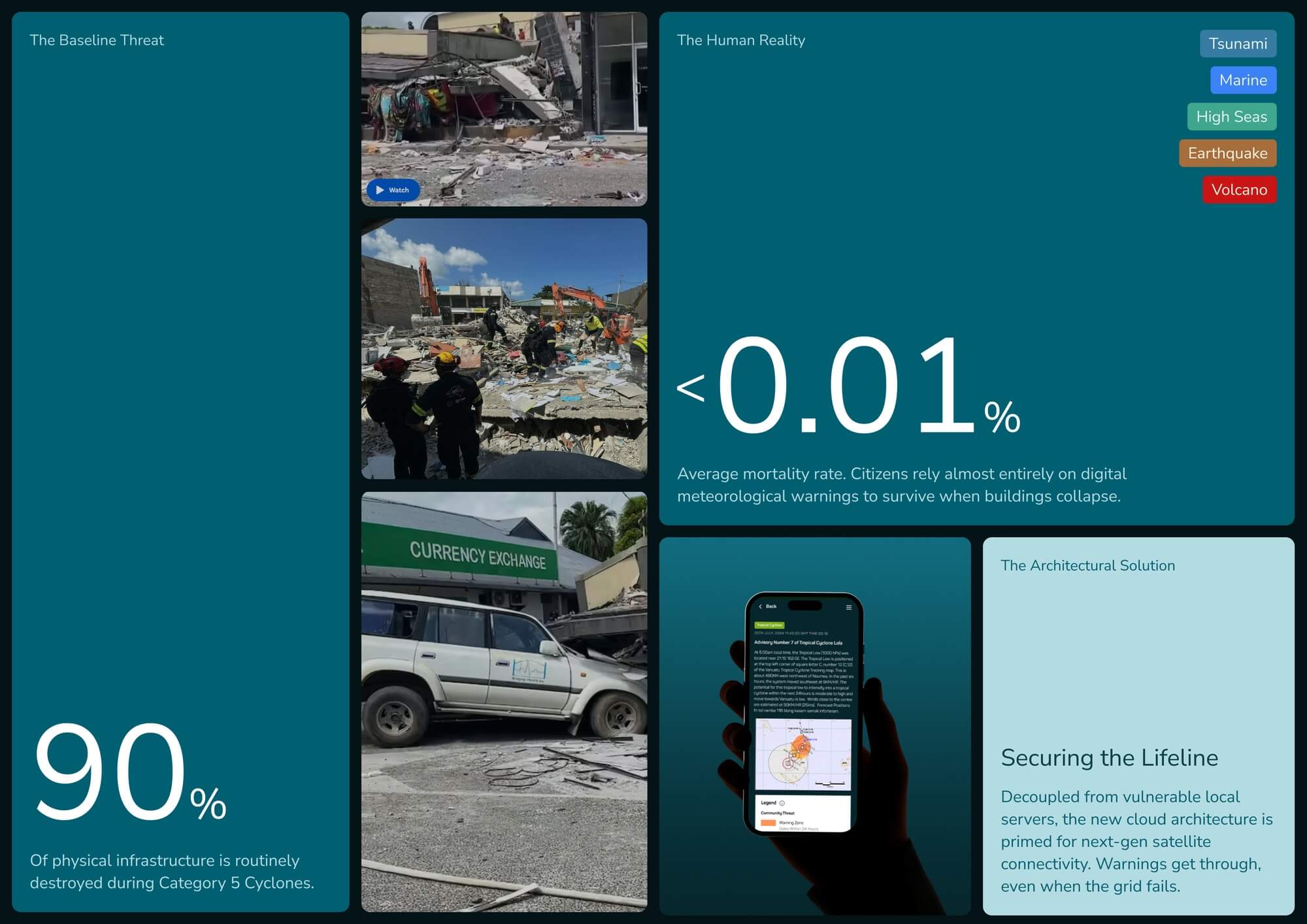
  • Vanuatu faces extreme climate vulnerability. Legacy SMS alerts suffered lethal delays of up to three hours and relied on brittle on-premise infrastructure. The technical challenge was to engineer a resilient, low-bandwidth digital service that remains functional during total grid collapse. We had to solve the radar gap between regional neighbours while delivering high-fidelity scientific data over unstable networks. Additionally, the digital divide meant that technical warnings often alienated the grassroots population. We needed a solution that balanced complex data visualisation with extreme accessibility and offline reliability for remote island communities in the deep blue.

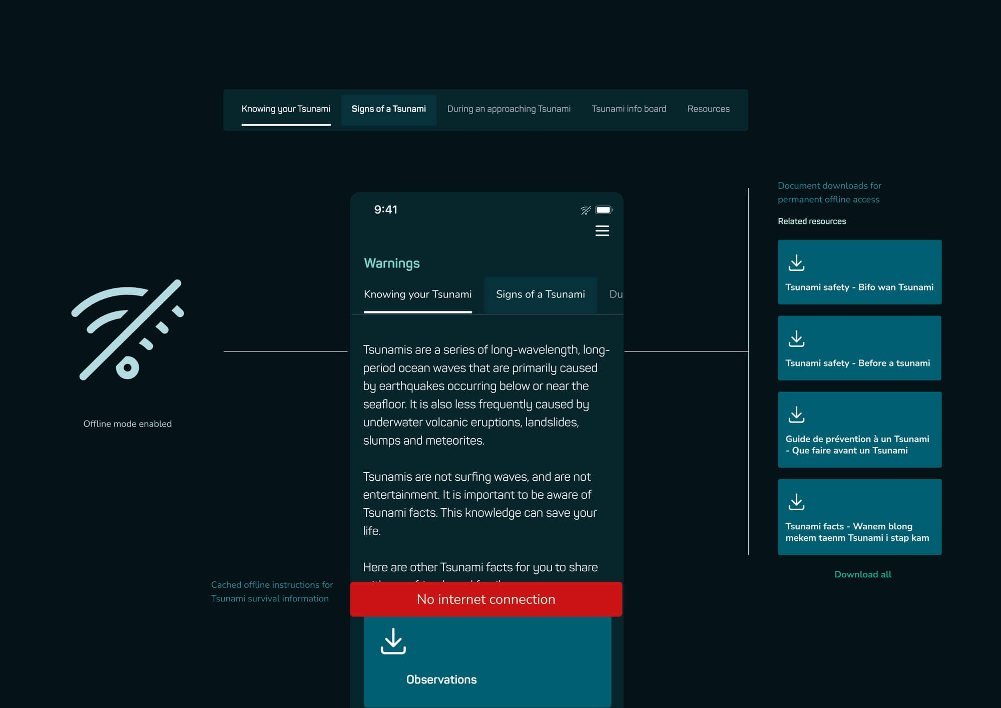
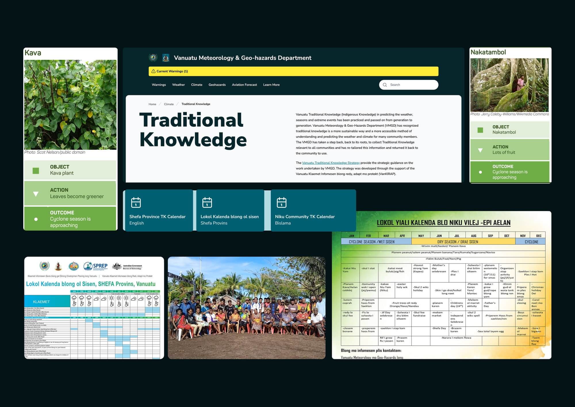
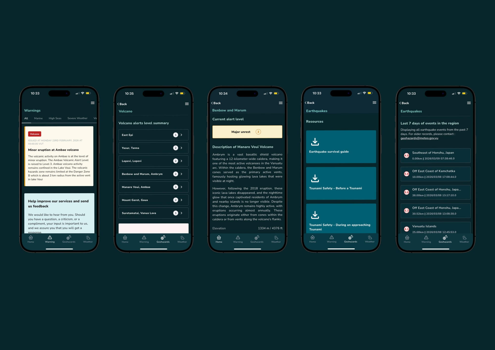
  • We engineered a cloud-native mobile platform that bypasses traditional telecom bottlenecks using high-priority push notifications. The interface systemises complex scientific data, including live volcano drumplots and C-band radar feeds, into intuitive visualisations. To ensure resilience, we developed an offline-first architecture that silently caches maps and survival guides to the device. While technical alerts are delivered in English for scientific accuracy, we integrated Bislama for all critical life-saving instructions. A participatory feedback mechanism was included to assist with seismic event verification. Local teams were provisioned with AI-assisted development tools to ensure long-term digital sovereignty.

  • The platform has achieved 25 per cent national adoption within one year, delivering alerts in seconds rather than hours. Research published in The Lancet identifies this digital approach as a factor in Vanuatu’s low disaster mortality rates. The system’s technical credibility has led to significant institutional outreach. The WHO reached out to utilise the platform's climate data for disease early warning systems. Additionally, Peace Corps volunteers and the ADB have utilised the observations to inform water security and infrastructure planning. This project demonstrates how high-quality digital design provides a foundational data backbone for national resilience.

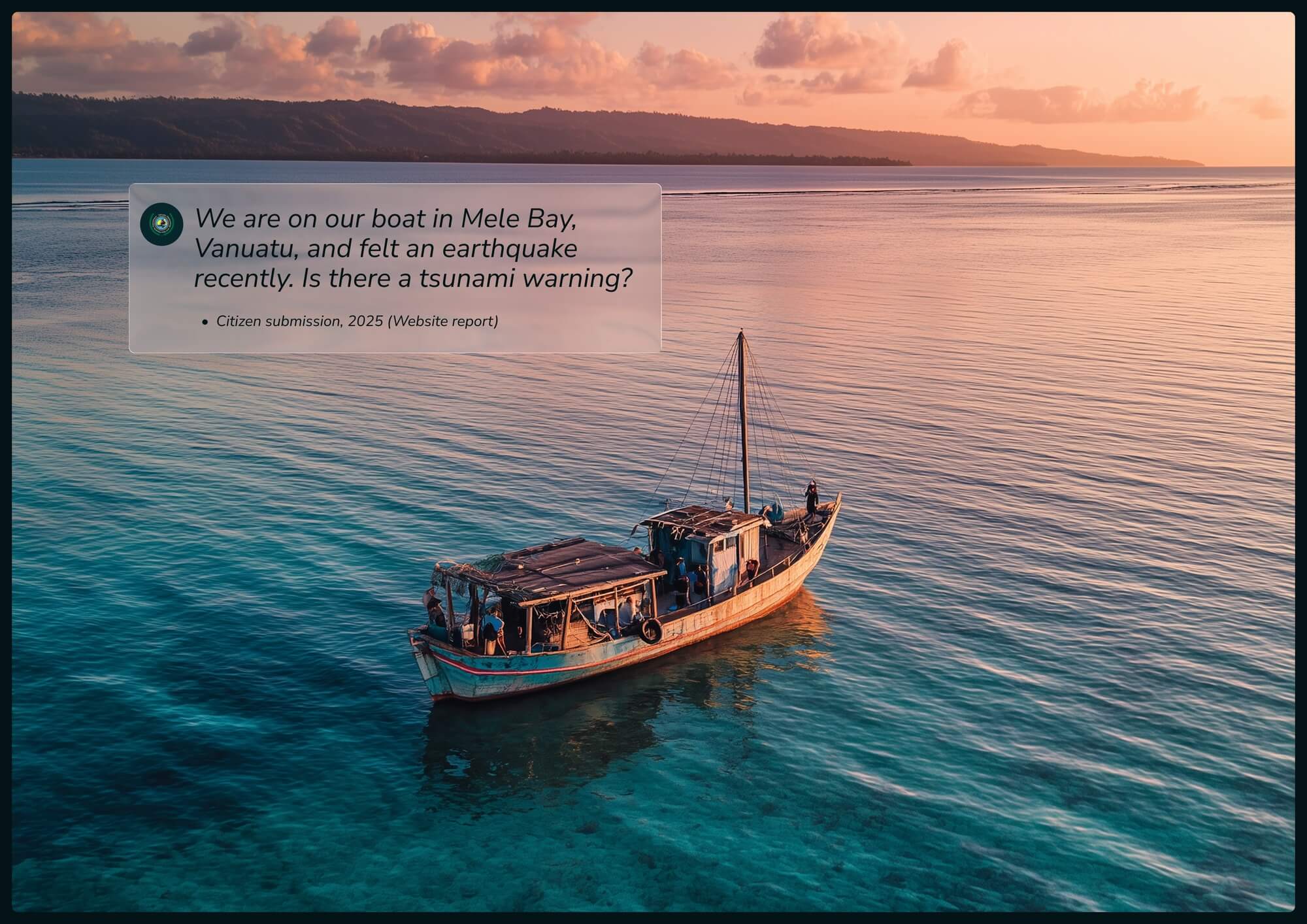
  • High-Fidelity Data Visualisation: Real-time integration of live volcano drumplots, AWS sensor observations, and C-band radar reflectivity into a consumer-grade mobile interface.Offline-First Resilience: Survival guides and maps are silently cached to device storage, ensuring critical instructions remain accessible in Bislama even when cellular networks are destroyed.Low-Latency Alerting: A cloud-native notification engine that delivers high-priority alerts in seconds, bypassing the multi-hour delays associated with legacy telecom SMS systems.Sovereign Technical Architecture: A cloud-based infrastructure that avoids the aid cycle by provisioning local government IT staff with AI-assisted tools for independent system evolution.Linguistic Accessibility: A strategic UX approach where technical alerts are complemented by survival instructions and safety guides provided in Bislama.Participatory Feedback Channel: The Felt Report mechanism allows users to provide real-time feedback on seismic activity, assisting the national department with ground-truth verification in remote areas.Institutional Data Utility: A robust backend that provides verified observations utilised by the WHO for health security and the ADB for water resource investigations.